

Available Climate Risk Management Features
Missing Climate Risk Management Features
Pricing
Starting Price
Options
Available Since
Deployment Options
Good Option For
Deep dive
Core Features
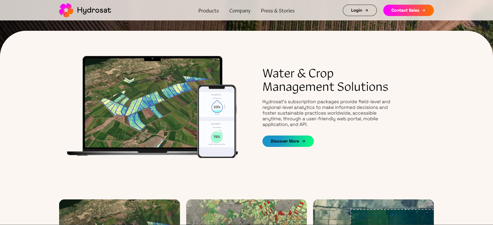
Satellite-Based Water Stress Monitoring: Hydrosat analyses land surface temperature and related indicators to detect water stress across agricultural landscapes, enabling early identification of drought conditions and crop stress.
Evapotranspiration & Crop Water Use Estimation: The platform supports estimation of evapotranspiration, helping users understand how much water crops are consuming and how this changes under different climate conditions.
Agricultural Risk & Resilience Insights: Hydrosat’s data helps assess crop vulnerability, yield risk, and exposure to heat and water stress, supporting resilience planning in agriculture.
Land Surface & Environmental Intelligence: Beyond agriculture, Hydrosat provides data layers related to land surface conditions that can support broader environmental and climate risk analysis.
Data Products & Analytics Outputs: Rather than offering a full operational management interface, Hydrosat delivers structured datasets and analytical outputs designed to be consumed by expert users, platforms,d or decision-support tools.
Plans & Pricing
Hydrosat does not publish standard pricing on its website.
The platform is typically offered under custom commercial agreements, depending on:
Type of data products required (water stress, evapotranspiration, land surface metrics)
Geographic coverage and spatial resolution
Data delivery format (API access, data feeds, analytical datasets)
Commercial versus research use cases
Contract duration and update frequency
From a Net Zero Compare perspective, Hydrosat should be treated as a data-as-a-service (DaaS) and analytics provider, rather than a fixed-price SaaS product.
Integrations
Hydrosat is designed primarily as a data and intelligence provider, not as a workflow or operational platform.
Based on publicly available information, integrations include:
APIs and data feeds
Delivery of satellite-derived indicators to enterprise systems, analytics platforms, and partners.Integration with geospatial and analytics tools
Data outputs can be consumed by GIS platforms, climate risk models, and agricultural analytics systems.Custom data pipelines
Bespoke integrations for governments, enterprises, and research organisations.
Customers & Use Cases
Hydrosat is relevant for:
Agribusinesses and agricultural analytics providers
Water resource managers and planners
Climate risk and resilience teams
Governments, research institutions, and development organisations
Typical use cases include drought monitoring, irrigation planning, agricultural risk assessment, and climate adaptation analysis.
Closing Insights
From a Net Zero Compare perspective, Hydrosat should be positioned as a Satellite-Based Water & Agricultural Intelligence platform, not as a sustainability management, ESG, or carbon accounting tool. Its strength lies in delivering high-quality Earth observation data that improves understanding of water stress and agricultural risk, making it a valuable input into climate adaptation and resilience strategies.